Find-Me
At the simplest level, the interface offers straightforward geography questions: the game shows a map, and asks the player for a country or a region. It will mainly be used for map quizzing, but in principle, this can be used to quiz areas on any image, like the parts of a plant cell or the parts of a volcano diagram.
The interface supports bulk mode, where we bundle a large number of related questions into one. In our European countries quiz, there are more than 50 countries to identify, and we quiz them in batches of 5. We have tested different bulk sizes for a while, and 5 seems to be a good compromise. Just firing up a single map question from time to time feels a bit short-lived and disjointed. Larger batches turn what should be a quick-to-answer quiz question into a chore.
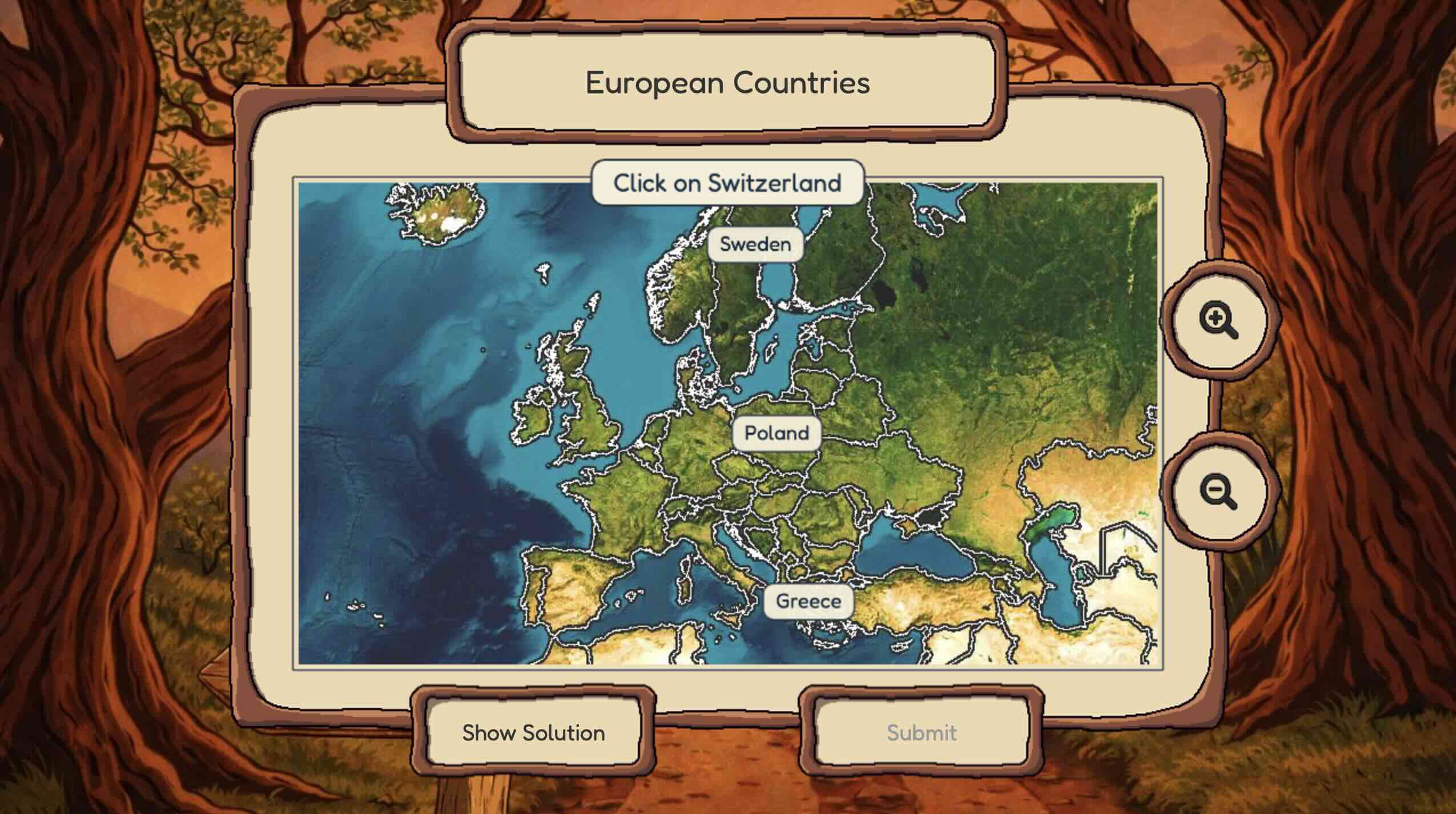
The UI supports a Show solution for each country. There is also a zoom that comes in useful when chasing small countries and city states.
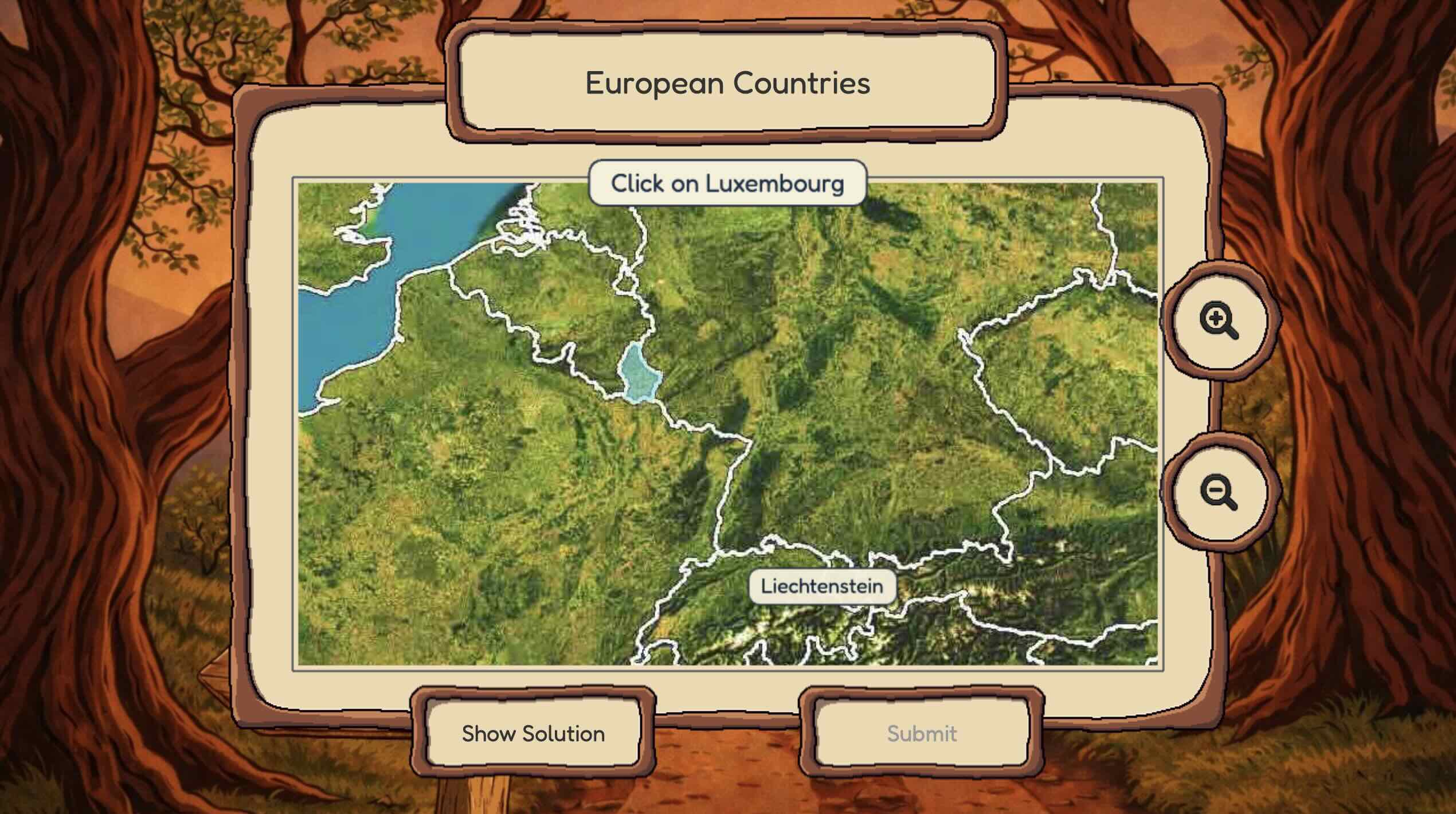
After submitting a batch of 5, the correct answers are revealed.
We call this type of quiz a Find Me. What makes it interesting for cognition is that each of the questions is modeled separately with its own forgetting curve. Questions the player finds easy (e.g. find Italy) and those that they find harder (e.g. find Kosovo) are on different revision schedules. The spacing algorithm (MMM) prioritizes questions that are most likely to be in the goldilocks zone for retrieval, where the spacing effect is at its peak.